Western Sahara
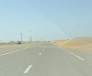
Western Sahara is a disputed territory on the Atlantic coast of northwest Africa, bordered by Morocco, Algeria, and Mauritania. Despite covering more than 266,000 square kilometers (103,000 square miles), it is home to only a few hundred thousand people, making it one of the least densely populated places in the world. Much of the landscape consists of the Sahara Desert, rocky plateaus, and long stretches of Atlantic shoreline.
The territory has been the subject of an unresolved political dispute since Spain ended its colonial administration in 1975. Shortly before Spain’s withdrawal, the International Court of Justice concluded that historical ties between the territory and neighboring states did not establish sovereignty over Western Sahara and affirmed the native Sahrawi people’s right to self-determination. Nevertheless, Morocco organized the Green March, where 350,000 Moroccan civilians, and military forces, entered the territory. Spain subsequently signed the Madrid Accords, transferring administrative responsibilities to Morocco and Mauritania, although the United Nations did not recognize the agreement as transferring sovereignty.
Guerrilla warfare soon broke out between Morocco, Mauritania, and the Polisario Front, the Sahrawi independence movement. After several years of conflict, Mauritania withdrew from the southern part of the territory in 1979 and renounced its claim on the region. Morocco then annexed this area, thus claiming all of Western Sahara. Today, Morocco administers most of Western Sahara, while the Polisario Front controls territory east of the Moroccan defensive berm, relying on support from Morocco’s rivals Algeria. The United Nations continues to classify Western Sahara as a Non-Self-Governing Territory and maintains that its final status should be determined through a process of self-determination.
It was because of this unique history and Western Sahara’s unresolved political status that I decided to make it one of the first places I visited on my travels.